
This is how Colombian companies strengthen their security with drones and geospatial systems.

In an environment where physical and environmental risks are constantly evolving, Colombian companies are incorporating advanced technological solutions to protect their assets and ensure operational continuity. These tools include drones and Geographic Information Systems (GIS), whose integration has transformed traditional surveillance and incident response models.
The integration of these technologies enables real-time surveillance. Photo: iStock
This technological convergence allows for the collection, analysis, and visualization of information in real time, facilitating early threat identification, timely emergency response, and the optimization of security resources. In sectors such as energy, logistics, manufacturing, critical infrastructure, and mass events, these tools are already part of the corporate security ecosystem.
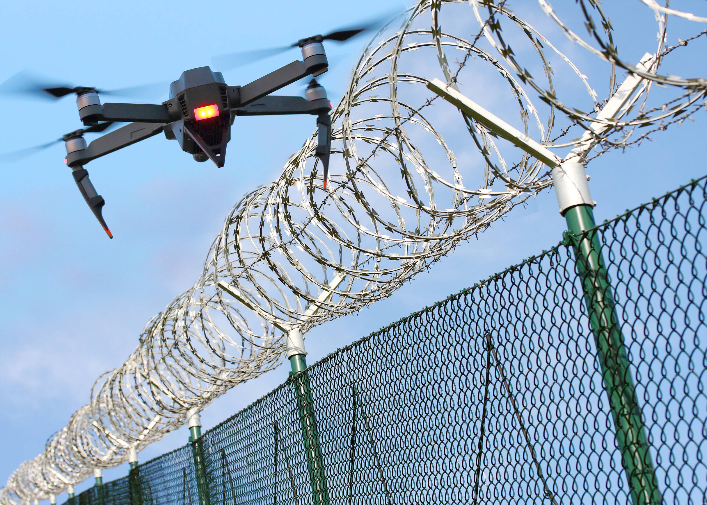
Accurate, real-time aerial surveillance Drones have ceased to be recreational devices and have become strategic allies in corporate surveillance.
According to Alexander Lozano, Defense Advisor at Esri Colombia, the combination of drones and GIS offers a comprehensive view of corporate security, enabling the management of different types of incidents. Its main applications include:
- Perimeter surveillance and intrusion detection: immediate identification of unauthorized access and unusual behavior in critical facilities.
- Environmental emergency monitoring: tracking fires, changes in vegetation cover, and smoke spread, facilitating early interventions.
- Natural disaster management : monitoring and assessing events such as floods or landslides, with real-time risk mapping.
- Critical infrastructure inspection: assessing the condition of electrical networks and communication towers to prevent operational failures.
- Security at mass events: monitoring crowds to detect potential risks and coordinate immediate responses.
- Crime pattern analysis: Integration of historical and current data to plan preventive patrols and focus security efforts.
Beyond immediate monitoring, these tools allow for simulating risk scenarios and performing predictive analysis based on historical data.
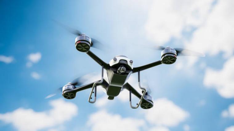
Drone Photo: iStock
This facilitates the identification of vulnerable points, high-crime areas, or gaps in surveillance coverage , which contributes to better operational planning and resource allocation.
The incorporation of drones and GIS marks a structural shift in corporate security models. The ability to transform large volumes of data into actionable information has made this technology an essential component for companies seeking more dynamic, adaptable, and evidence-based protection.
More news in EL TIEMPO *This content was rewritten with the assistance of artificial intelligence, based on information from Esri Colombia, and included input from the journalist and an editor.
eltiempo


